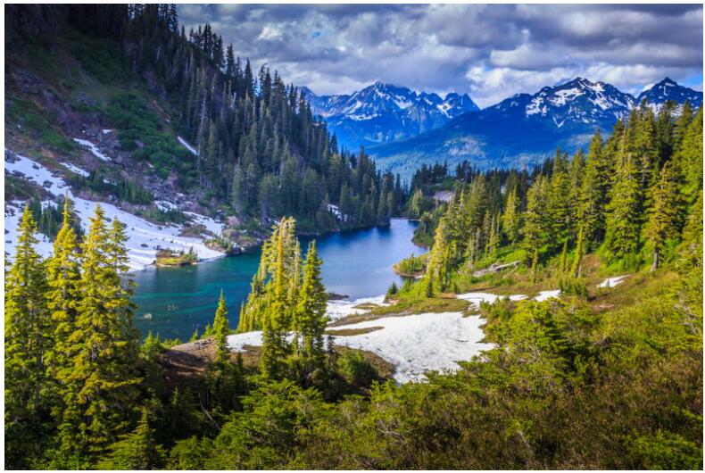
10. Wyoming – 253,335 km2
Wyoming is notable for its rectangular shape on the map of the USA. Wyoming’s borders lie exactly between 41 degrees and 45 degrees north latitude, and between 104 degrees 3 minutes and 111 degrees 3 minutes west longitude. The state is surrounded by Idaho, Montana, South Dakota, Nebraska, Colorado, and Utah. Its area is 253335 square kilometers, the tenth largest state by area in the US. The Rocky Mountains are located in western Wyoming. The famous Yellowstone National Park is located in the northwest of the state. The capital and largest city in the state is Cheyenne. Wyoming became a US state in 1890.
9.Oregon – 254,799 km2
Oregon is located on the west coast of the US and borders the Pacific Ocean. To the north is Washington State, to the east is Idaho, and to the south is Nevada and California. Oregon’s landscape ranges from mountainous and rainforest in the west to arid desert in the southeast. The capital of Oregon is Salem, while Portland is the largest city. Oregon joined the US as the 33rd state in 1859. Its area is 254799 square kilometers, which ranks ninth in this list.
8.Colorado – 269,601 km2
When you think of the state of Colorado, many immediately think of the Rocky Mountains, the mountain range that occupies a large part of Colorado. The borders of Colorado, like those of Wyoming, are dead straight: they follow well-defined latitudes and longitudes. Colorado is located approximately in the center of the US and is surrounded by the states of Utah, Wyoming, Nebraska, Kansas, Oklahoma, New Mexico and Arizona. The capital and largest city is Denver. Colorado has an area of 269601 square kilometers, the eighth largest state in the US.
7.Nevada – 286,380 km2
Nevada is located in the western part of the US and consists mainly of mountain and desert areas. The neighboring states are California, Oregon, Idaho, Utah and Arizona. The most famous city in Nevada is undoubtedly Las Vegas, the largest gambling city in the world. However, the capital of Nevada is the small town of Carson City. The Hoover Dam on the Colorado River is right on the border between Nevada and Arizona. Nevada occupies an area of 286380 square kilometers, ranking seventh on this list.
6. Arizona – 295,234 km2
With an area of 295234 square kilometers, Arizona ranks sixth in our ranking. Arizona is located in the southwest of the US, borders Mexico to the south and has California, Nevada, Utah, Colorado and New Mexico as neighboring states. One of the greatest natural attractions in Arizona is the Grand Canyon, a deep and very steep river canyon carved by the Colorado River. The capital Phoenix is centrally located in Arizona and is also the largest city. Arizona became the 48th state of the US in 1912.
5. New Mexico – 314,917 km2

New Mexico is east of Arizona. New Mexico borders Utah and Colorado to the north, Oklahoma and Texas to the east, and Mexico to the south. The state has been inhabited for many thousands of Native American tribes, including the Navajo and Apache. In the 16th century it became a Spanish colony, later part of Mexico. In 1912, New Mexico became the 47th state of the US. New Mexico has an area of 314917 square kilometers. The capital is Santa Fe, but the largest city is Albuquerque.
4.Montana – 380,831 km2
The northwestern state of Montana, as the name suggests, consists largely of mountain areas. Montana borders Canada to the north, North and South Dakota to the east, Wyoming to the south, and Idaho to the west. The Rocky Mountains define the beautiful mountain landscape in western Montana. The state covers an area of 380831 square kilometers and is the fourth largest in the US. The capital is Helena, once founded as a gold prospector camp. Billings is the largest city in Montana.
3. California – 423,967 km2
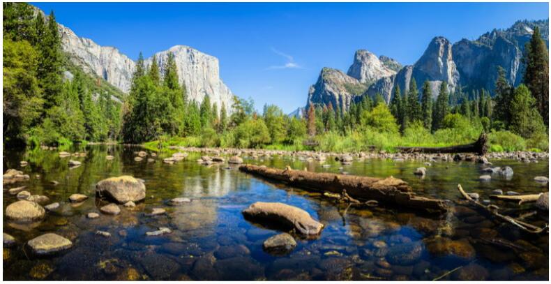
California covers 423,967 square kilometers and ranks third in this list.
2. Texas – 695,662 km2

The second place is occupied by Texas, which occupies no less than 695,662 square kilometers.
1. Alaska – 1,723,337 km2
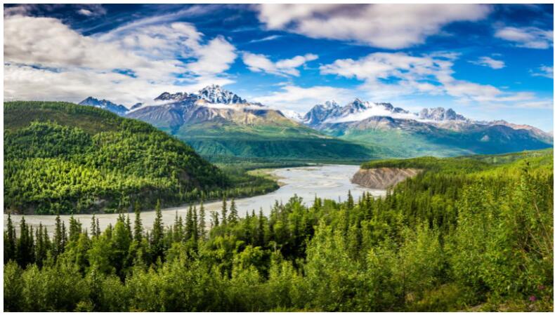
The state with the largest area is Alaska, west of Canada. Alaska has an area of no less than 1723337 square kilometers. The state was home to indigenous peoples for many thousands of years, until the area became a Russian colony. Russia sold Alaska to the US in 1867 for a mere $7.2 million. Alaska officially became the 49th state of the US in 1959. The capital is Juneau, but the largest city is Anchorage (288,000 inhabitants). The inhospitable and cold Alaska is a country with fantastic landscapes and beautiful nature reserves. Oil production is an important source of income.